Mapping and surveying
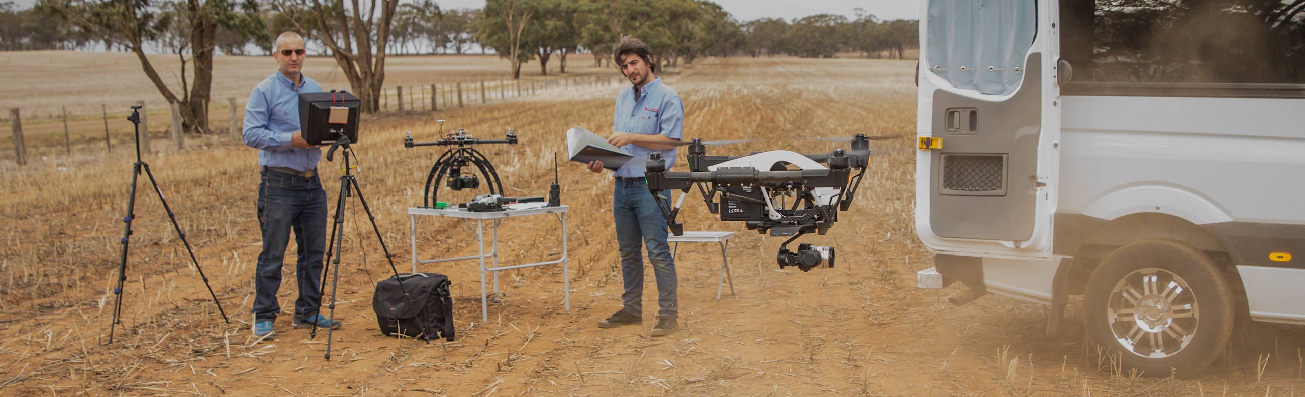
Adding drones to your surveying and mapping toolkit can greatly improve the accuracy of the data you're collecting. You have the ability to collect data for urban planning, large scale mapping, terrain modelling and much more. We use software that converts the images from any camera into accurate maps and models.
Surface modelling
- Monitoring land conditions – contour lines
- 2D and 3D maps can be produces in model form
- Area calculation
- Volume calculation
- Earthworks calculations
- Road angles and levels
- Google surveying drones
- Useful for lake edges
- Water courses
- Inaccessible and/or steep terrain
Benefits of drones in mapping and surveying
- Safer option to on ground survey work
- Fast - can be surveyed a 20 acre in 9 minutes
- Cut down on man power
- No need for ground views
- Adaptable to conditions
- Accurate
- Precise collation of data via imagery
- Comprehensive analysis for environmental changes
- Detect changes
To discuss your project, phone 03 5441 4435. We offer a free, no obligation quote.