Enhance your perspective with aerial photography
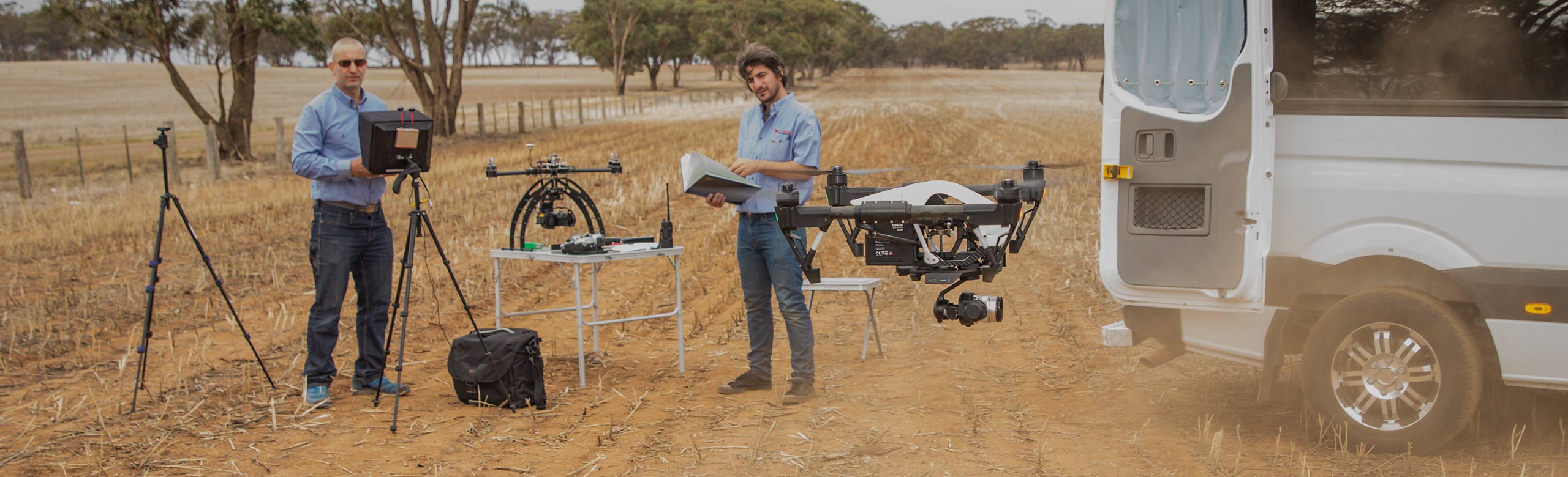
CV Aerial Photography offers the full spectrum of aerial photography services, each of which provides a powerful and unique perspective. From multi-spectral imaging that detects agriculture crop health to HD live streaming to your YouTube channel. We use the latest equipment and software to produce outstanding and exciting results.
A range of industry sectors are realising the benefits and possibilities that arise from aerial photography – including farmers and miners, event managers and advertisers, the film industry, commercial developers, real estate agents, architects and even schools.
Find out more information about our specific services:
- Asset inspections
- Agriculture
- Commercial developers
- Real estate
- Thermal
- Mapping and surveying
- Events and sports
- Domestic
- Night photography
Multi-spectral imaging
- Thermal or infrared images that capture information not detectable by the human eye
- Convert the information to index maps and other powerful data forms
- Useful for agricultural settings, to detect crop health, soil health, heat tolerance and more, or for asset inspection for mining and other industries
Photogrammetry
- Large scale mapping and modelling
- Perfect for surveying, city modelling, large-scale mapping, urban planning and more
Topographic maps
- A summary of the landscape that shows important natural and man-made features, including areas of elevation.
- Ideal for the mining industry
- Infrastructure development
- Road works
- Erosion mitigation
HD film and live streaming
- High definition filming for short or feature film, advertisements and events
- High definition live streaming – perfect for events such as motorsports, school sporting events or live news feeds
3-D modelling
- Transform aerial images into realistic 3D mesh model
- Perfect for commercial developers, to showcase the property and its surrounds from a ‘fly-through’ aerial perspective
Contact us to discuss your project.